Share to
Plan d’aménagement de transport actif
By : Stantec Experts Conseils Ltée
GRANDS PRIX DU DESIGN – 15th edition
Discipline : Landscape & Territories
Categories : Landscape Architecture / Landscape Architecture - Rural Areas : Bronze Certification
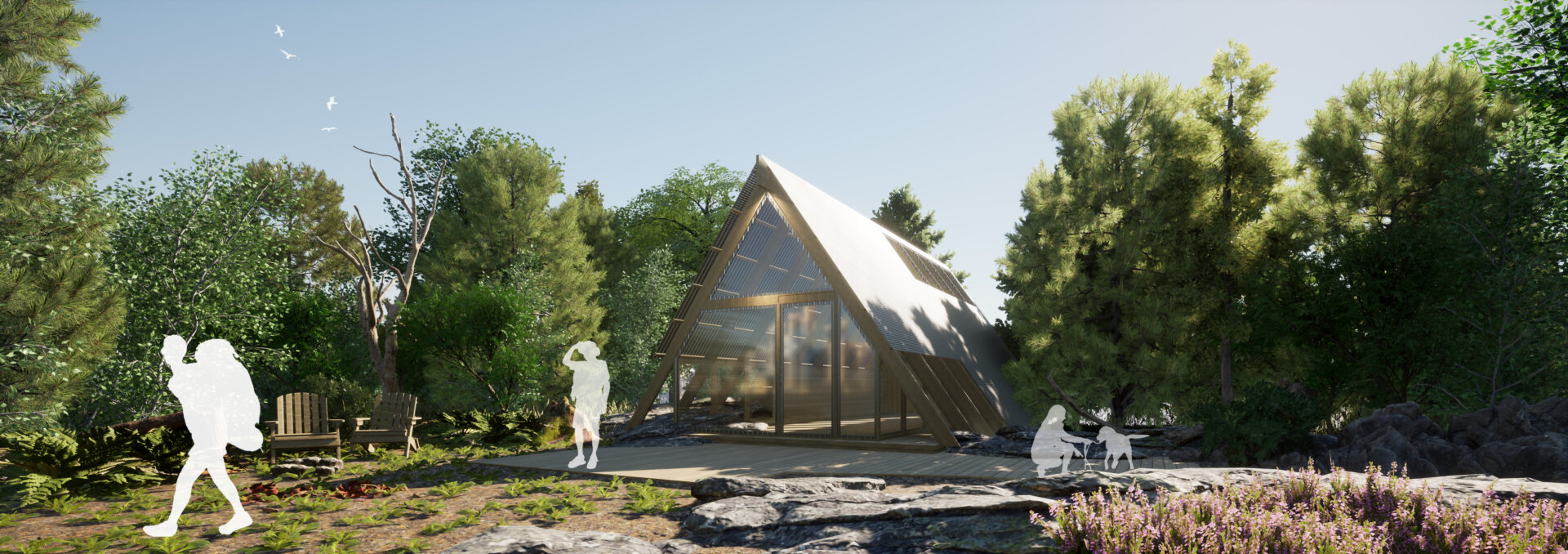
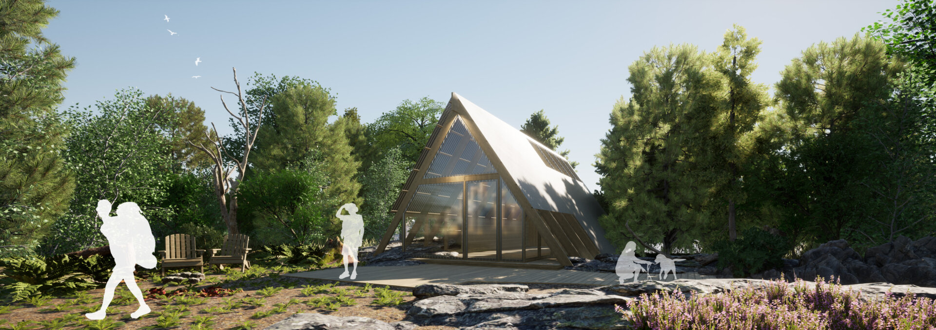
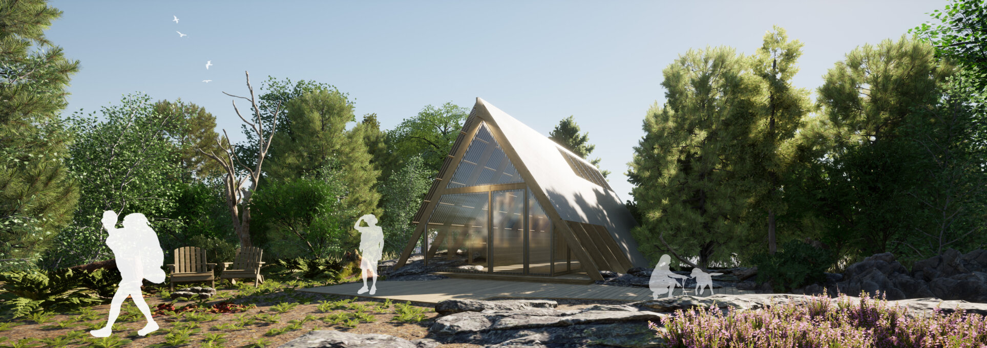
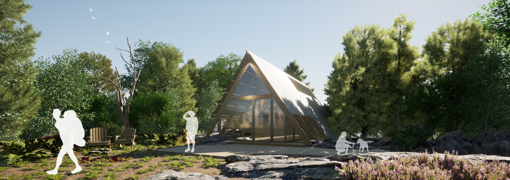
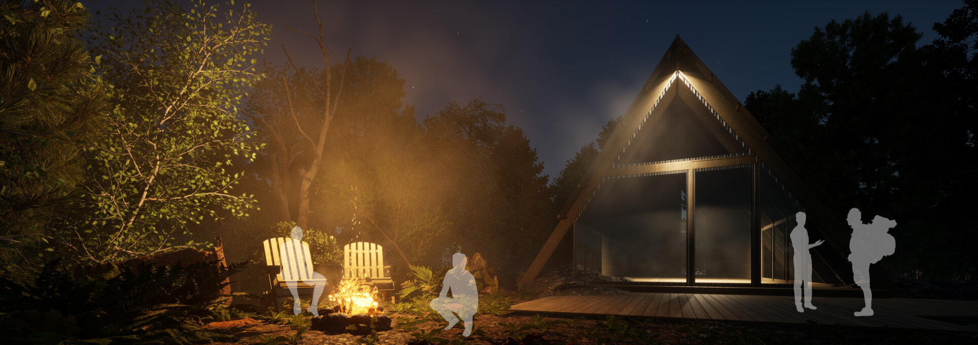
The municipality of Saint-Félix-d'Otis called upon Stantec to develop a wooded area and to design a redevelopment plan for the municipality's intergenerational park.
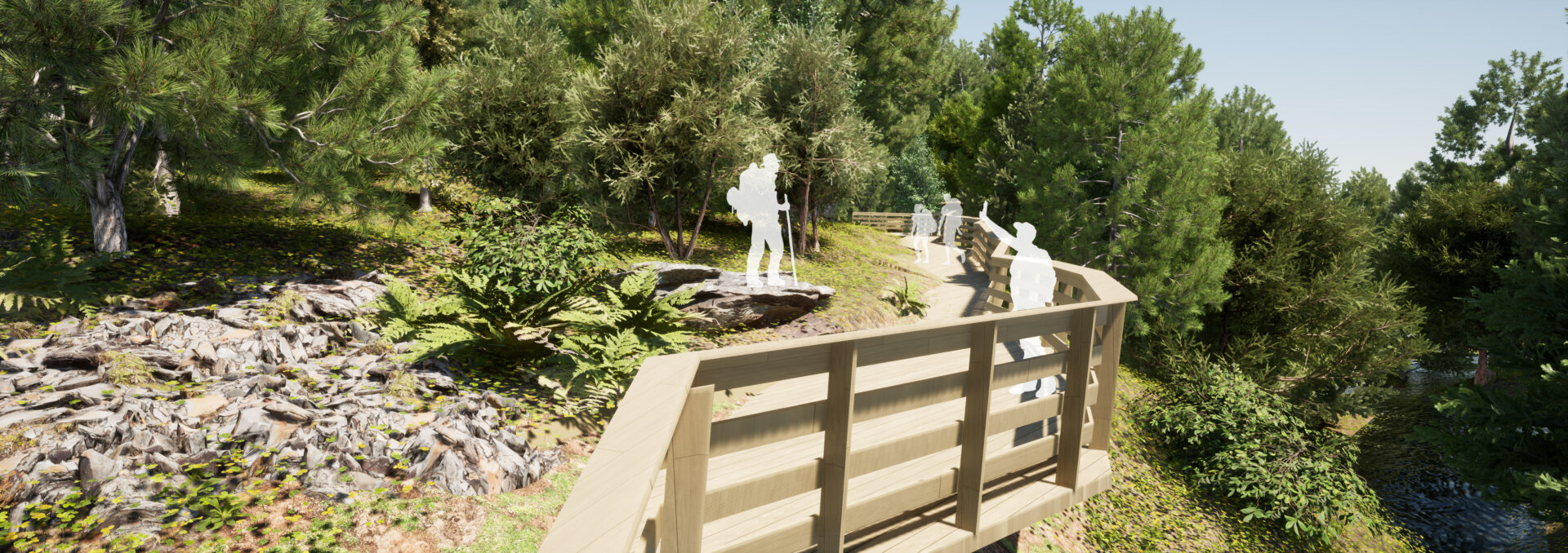
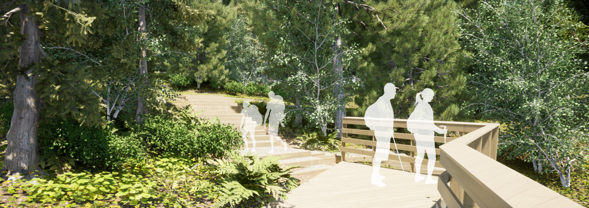
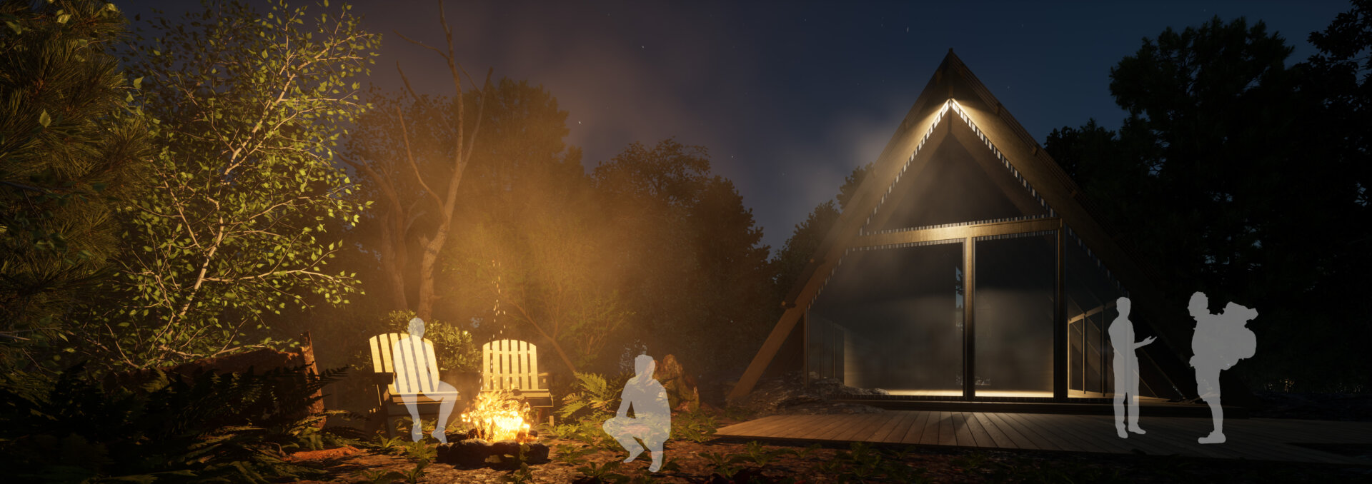
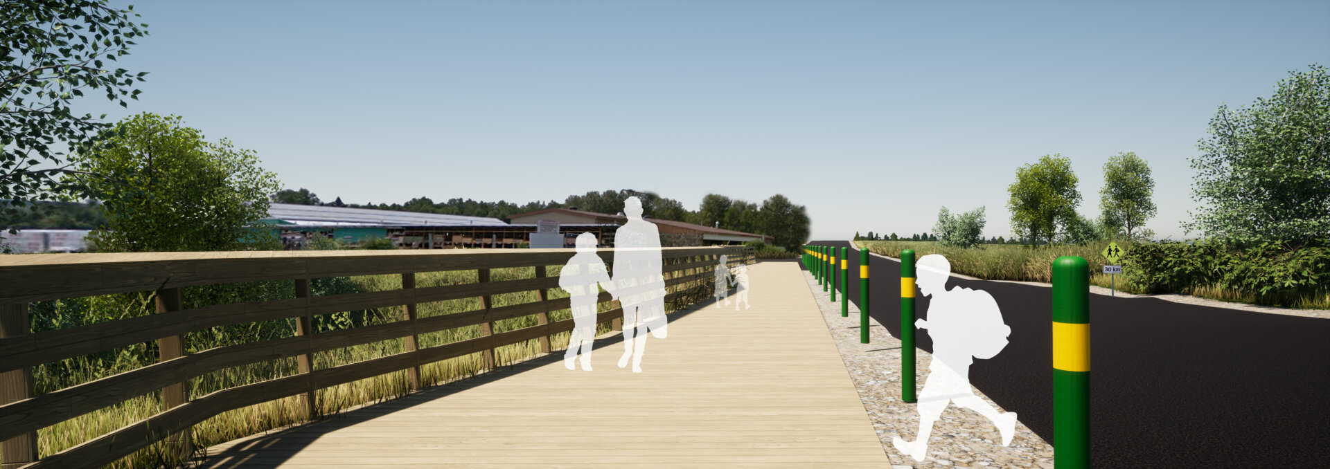
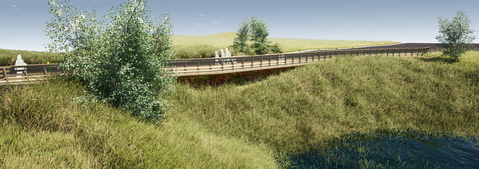
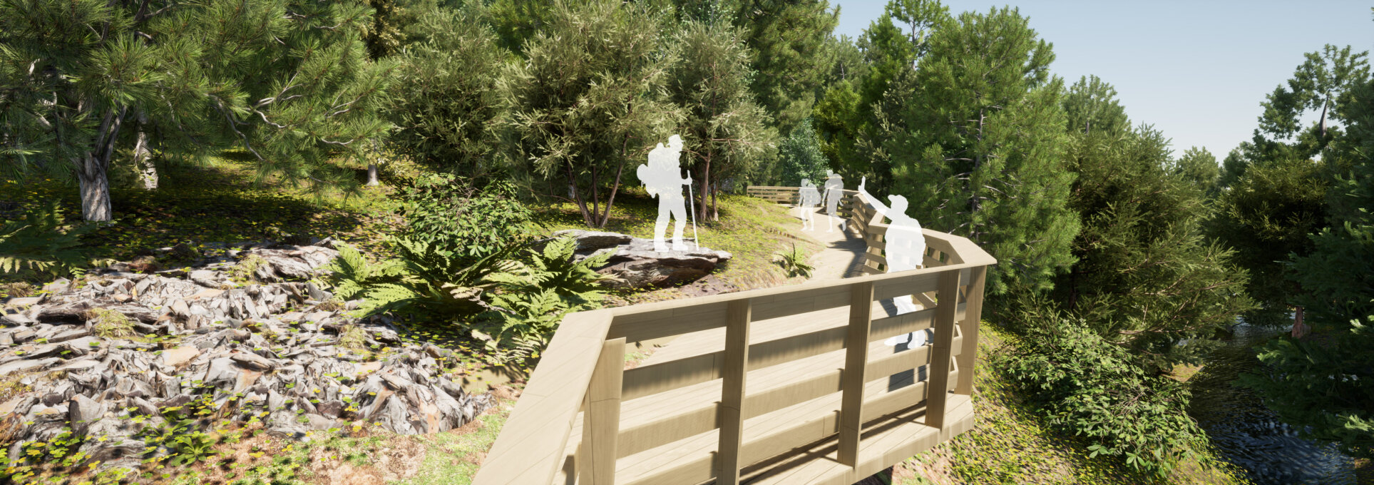
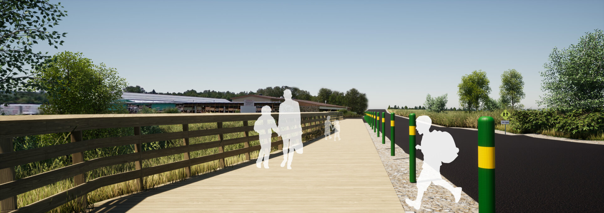
The idea is to prioritize active transportation and to allow a soft and enjoyable mobility of the inhabitants and tourists on the territory of the municipality. The development concept of the woodland includes the creation of trails accessible to pedestrians, snowshoers and cyclists and will ensure the enhancement of important landscape elements. Particular attention will be paid to the site's fauna and flora, as well as to the animation of the woodland's visitor route, which was once the subject of Aboriginal occupation and agroforestry.
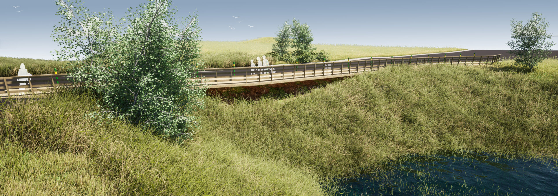
With the creation of new active transportation routes, the municipality of Saint-Félix-d'Otis is, for the first time in decades, crossed by a major structuring axis; Lake Otis. The great historical wealth of the municipality is highlighted, whether it is its natural wealth, its past transformation of raw materials and the artisan culture of its population. While exposing the historical achievements of the municipality, a design responding to current and future needs is proposed.
The community hub and the natural environment are connected and can be used by a variety of active transportation modes. Hiking, biking, snowshoeing, skiing and water sports, the modes of transportation available within a 5 km radius are unique to the area.
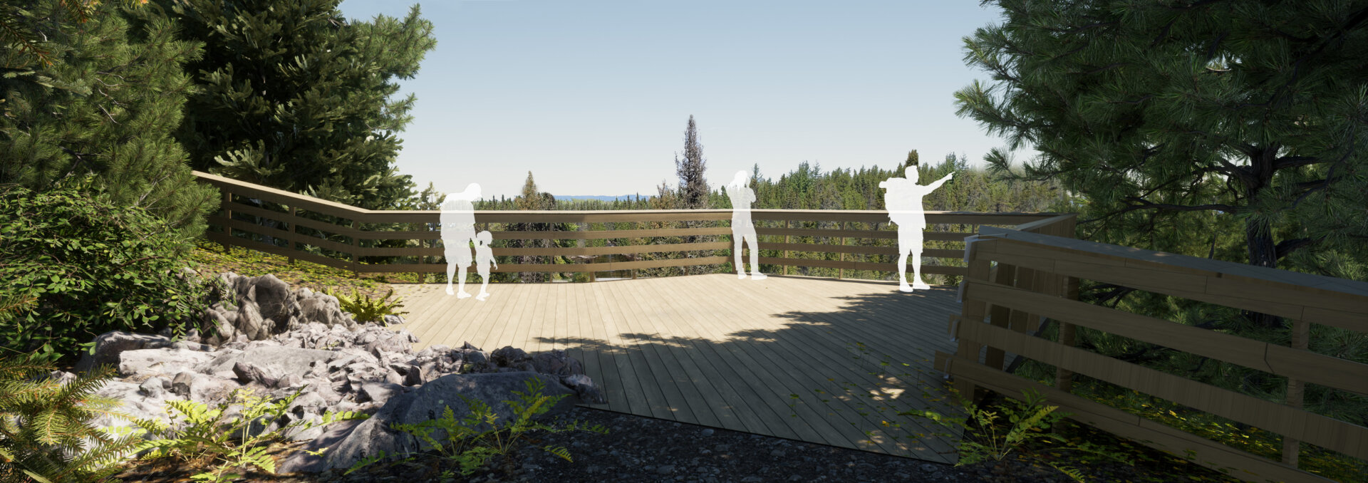
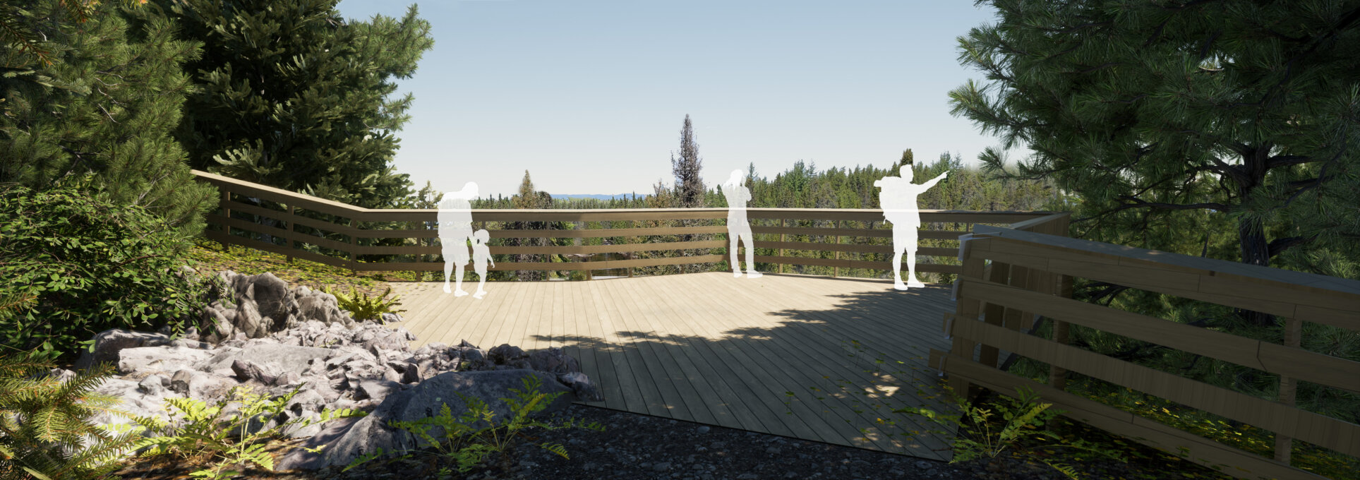
A wide variety of experiences are offered through different routes that offer many views and rich environments unique to Saint-Félix-d'Otis. These trails also allow you to take a trip back in time, following historical routes and linking several key sites, such as the village core, Lake Otis, the campground, the site of New France and the Saguenay River.
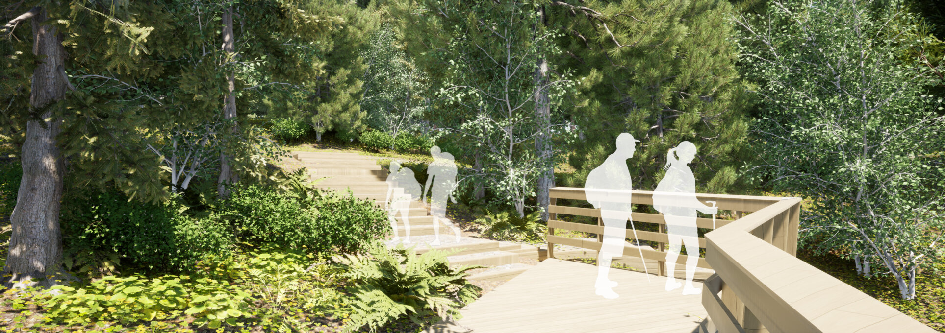
The proposed lookout trails offer a fusion between the existing topology and geomorphology and the constructed logging roads. This has the effect of allowing a better cohesion of the built object and its natural context. Slides are also built with the intention of taking advantage of the constraints of the existing topography. In addition, they allow to be linked to the stairs, which allows to go down some sections of the topography in a playful way.
Collaboration
Urban planner : Stantec Experts Conseils Ltée


